Interactive 3D visualization tool for paragliding flights with topographic maps, altitude tracking, and playback controls.
Feed the snake, the snake is soo hungry, but careful not to smash into anything
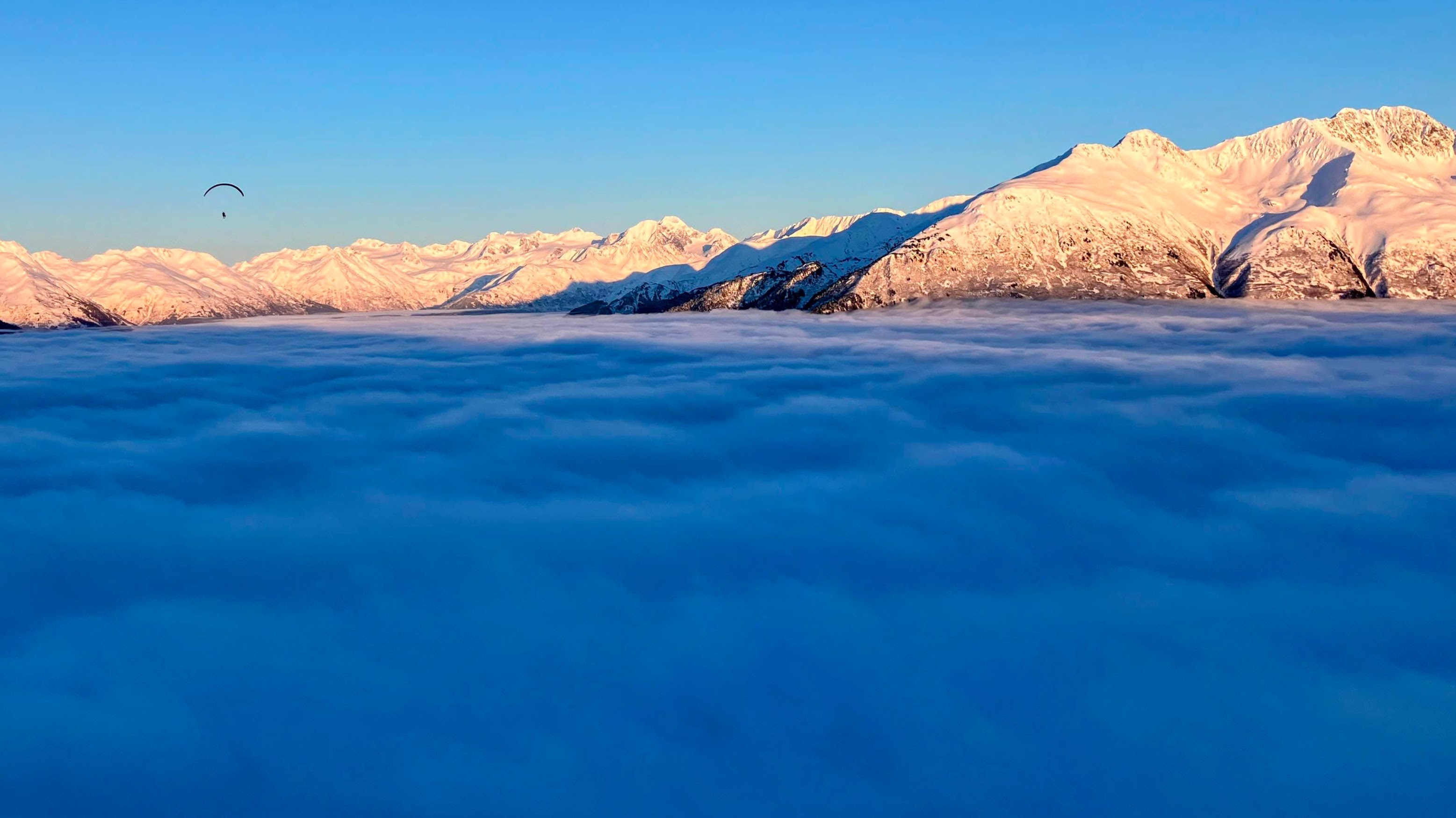
Turn your paragliding IGC files into beautiful wall posters with satellite imagery, topo maps, altitude profiles, and custom text overlays.
Step through the portal. See what's on the other side.